A guide to get to Mission San Javier when visiting Loreto, BCS, Mexico, and the things you can see and do there.

Mission San Javier is on the Pacific side of the Sierra de la Giganta Mountains in Baja California Sur, Mexico about 90 minutes southwest of Loreto..  The mission was the second mission in the California’s with the Loreto mission being the first.  In this blog posting we will discuss how to get to the mission, present a brief history of the mission, and things to see and do on a trip to the mission.  Below is a map showing Mission San Javier relative to Loreto.

Mission San Javier is a little over 60 miles southwest of Loreto.  The normal driving time is about 90 minutes, but driving conditions can increase with bad weather.
Mission San Javier is a little over 60 miles southwest of Loreto. The normal driving time is about 90 minutes, but driving conditions can increase with bad weather.  Most of the route is very mountainous with many switchbacks as you go up and down the roads.

Ways to get to Mission San Javier

Tours are available to visit the mission from various Loreto tour operators, You can rent a car to get there.  You might also be able to strike a deal with a taxi driver.  We got a local driver to take us from our hotel to Mission San Javier and back for ninety dollars.  We also gave the driver a nice tip when we were dropped at our hotel.  Below is a picture of my buddy Chuck, and our driver as we were leaving our hotel.

Slide02

Weather as an influence on your trip to Mission San Javier

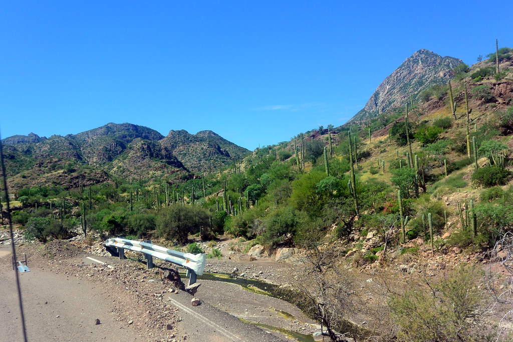
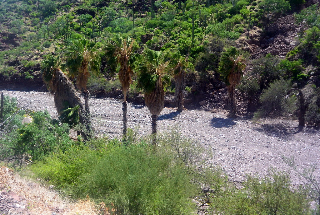
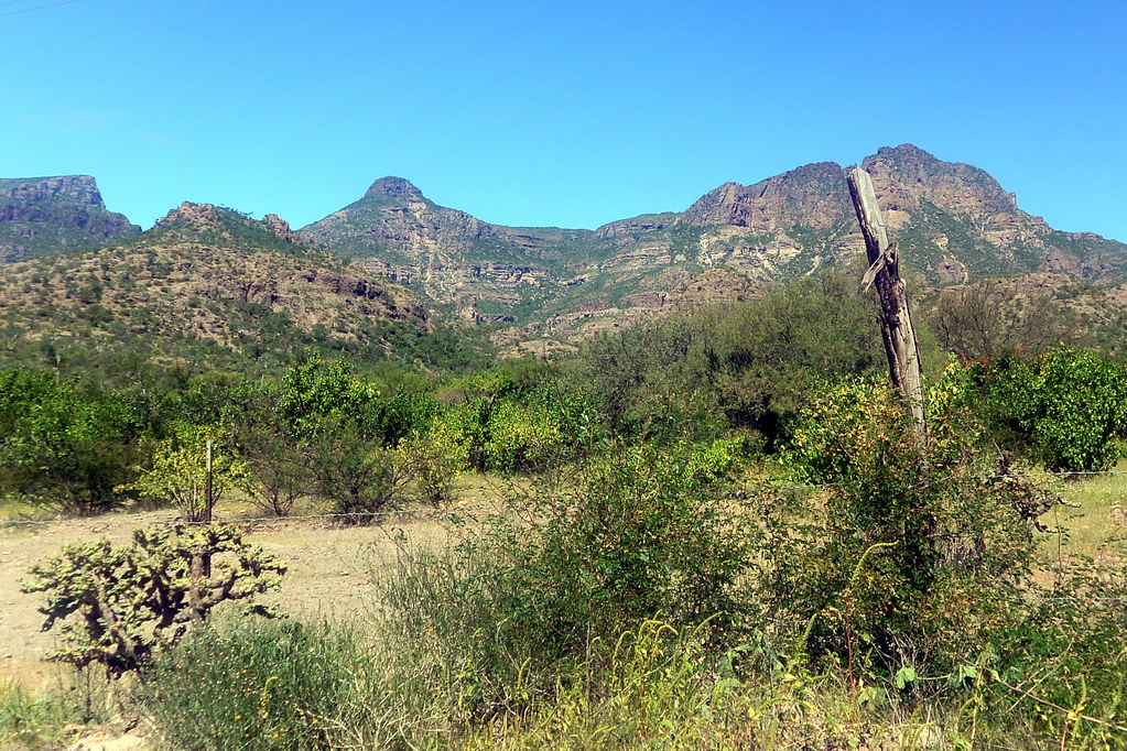
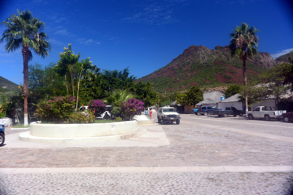
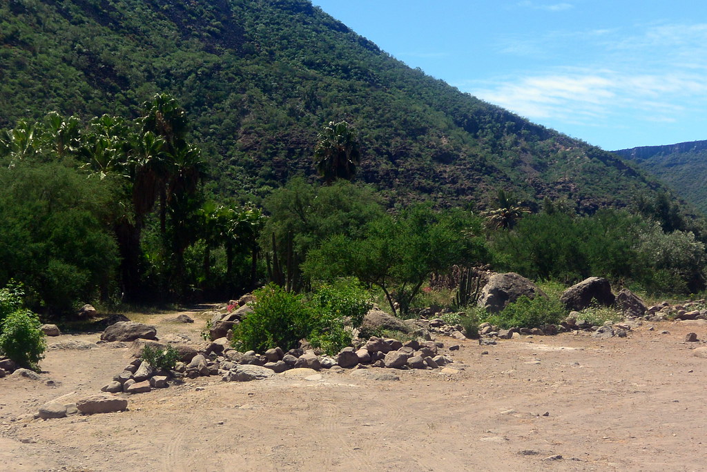
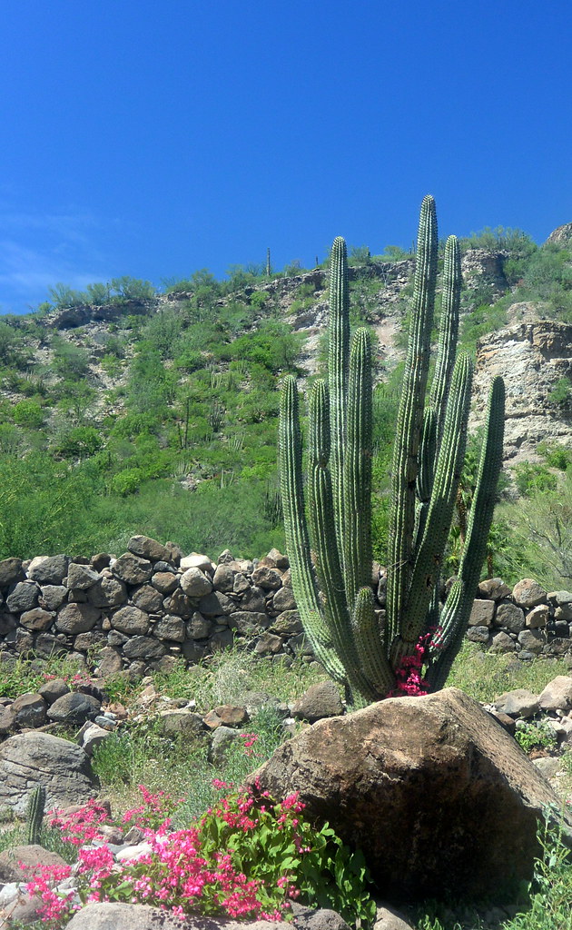
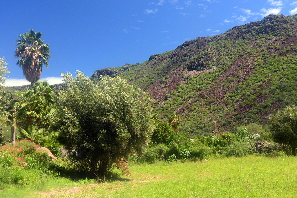
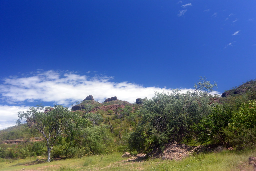
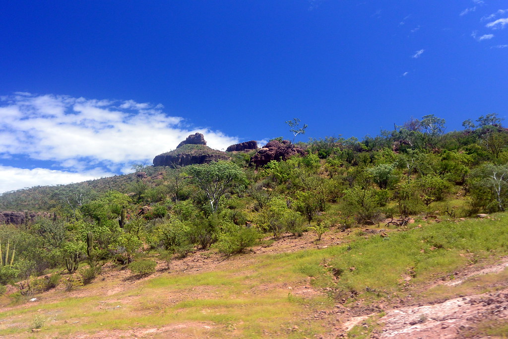
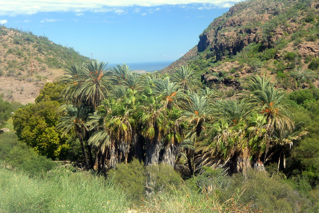
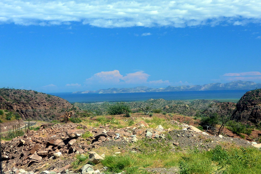
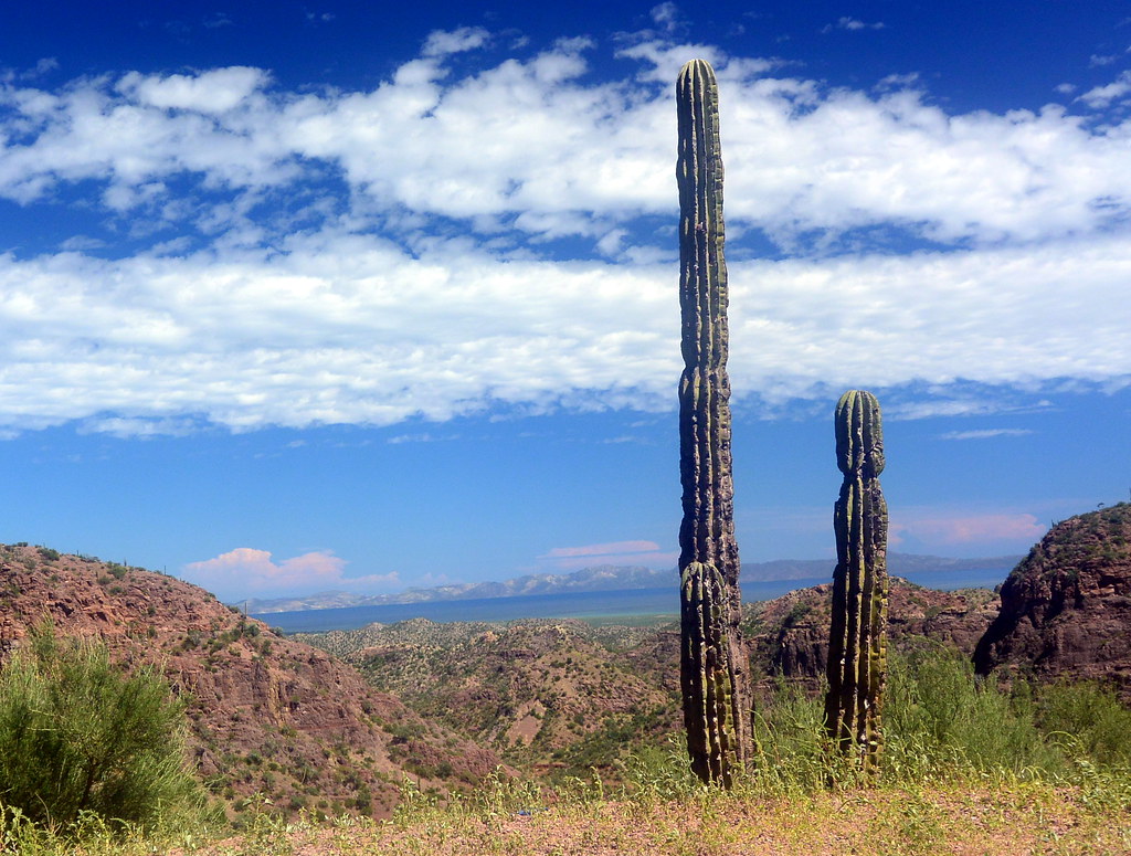
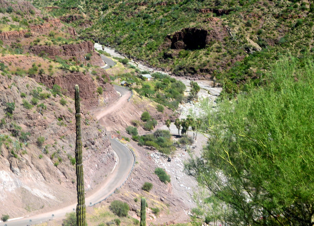
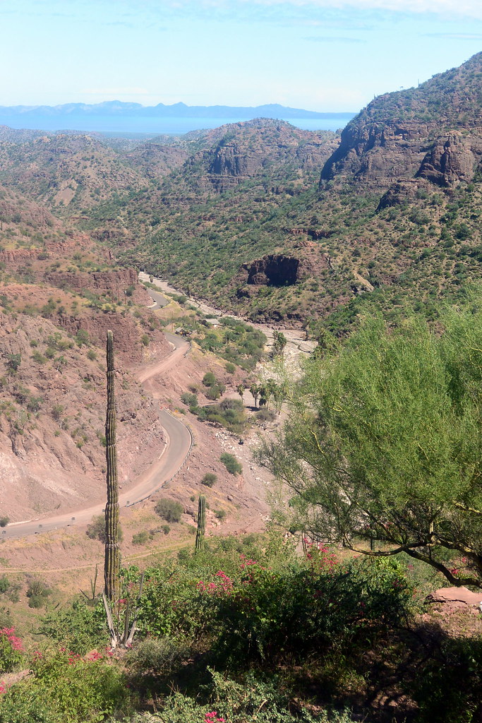
Late May to early September can be very hot in Baja California Sur, and I would suggest that this is not a good time to visit.  We made the trip in late September when the temperatures were a little lower.  Weather reports should also be checked for rain.  If there is any chance of rain, it is my opinion that one should not visit the mission.  When it rains there are flash floods, and road washouts.  If there is rain while you are on a trip to the mission, there is a good chance that you will not be able to get to the mission, or return from the mission.  This could extend your trip by several days.  The best time to go is actually a few weeks after it has rained.  The areas between Loreto and Mission San Javier turns green for a short time (a few weeks) after a rain.  We were lucky on our trip to go four weeks after a major rain storm (these are very infrequent in this area, and are unpredictable) to see the blooming desert after the rain.  So when scheduling your vacation to the Loreto area, keep the time of the year in mind before scheduling your visit.

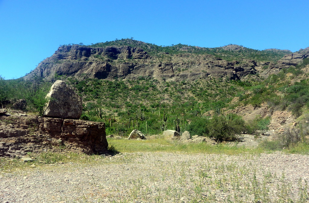
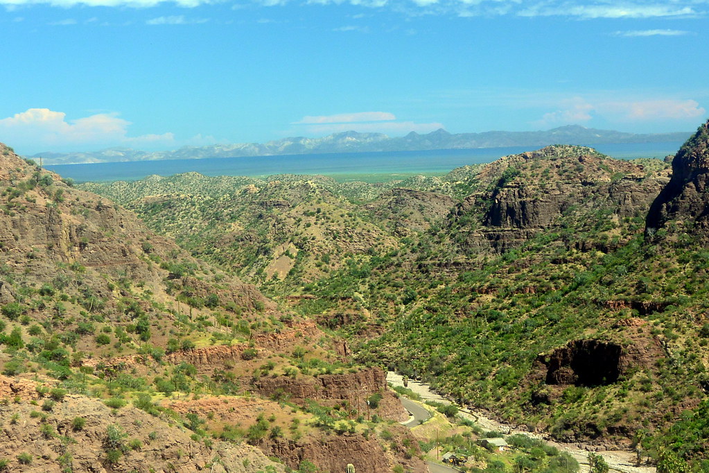
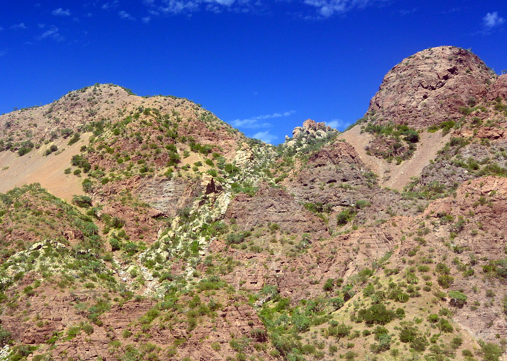
Our trip to Mission San Javier

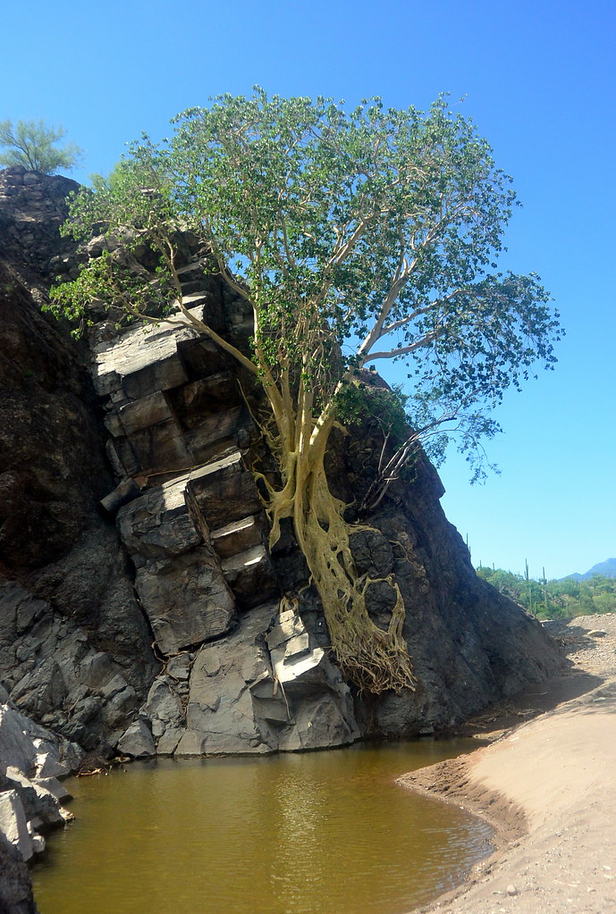
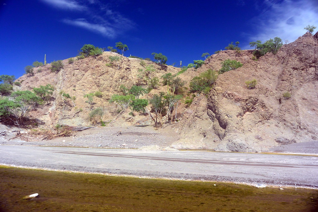
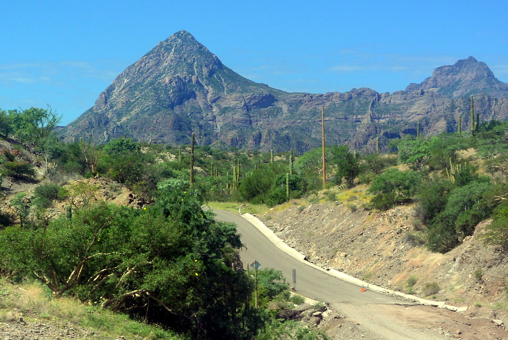
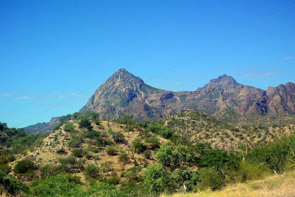
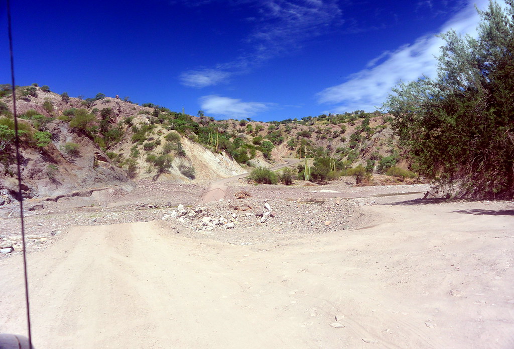
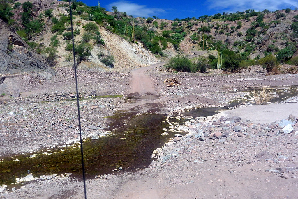
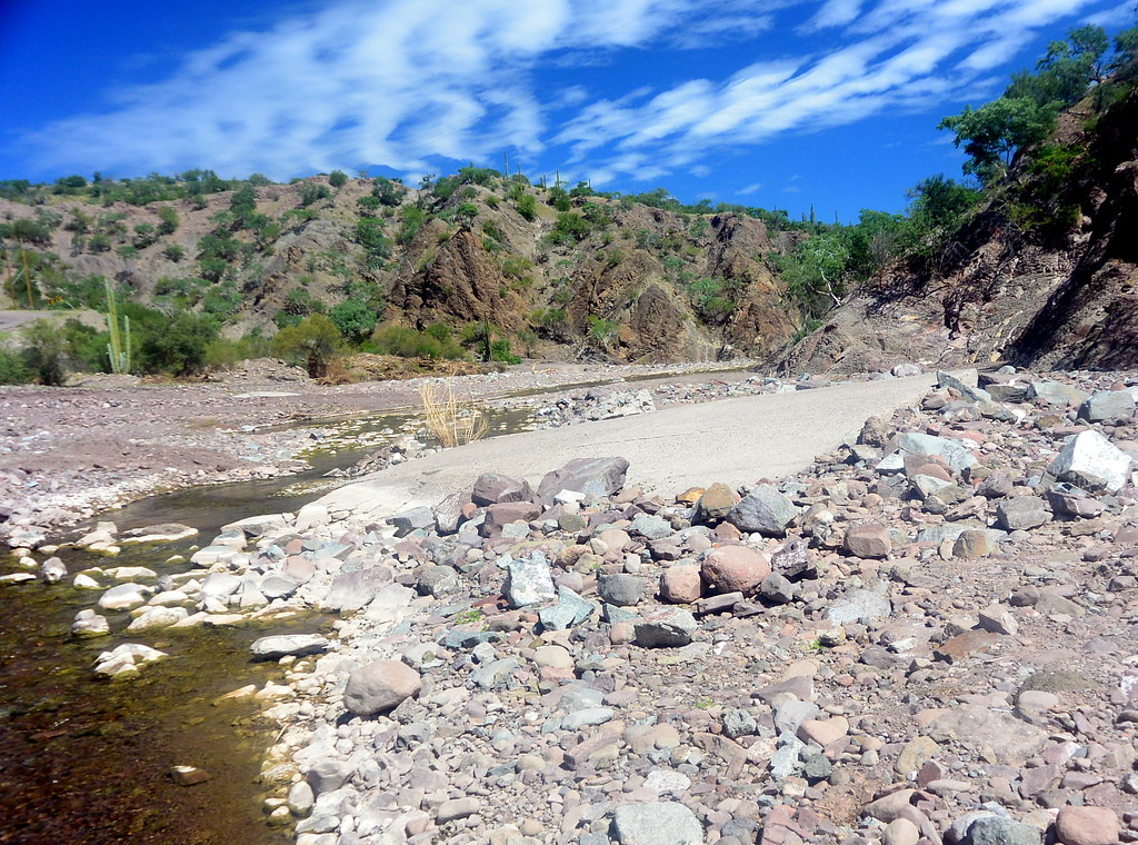
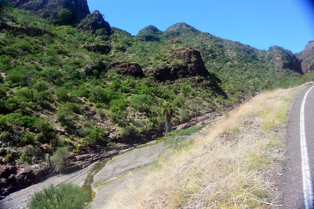
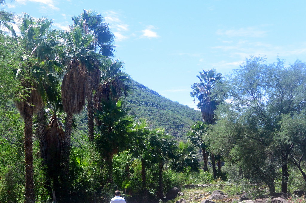
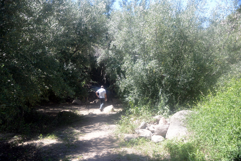
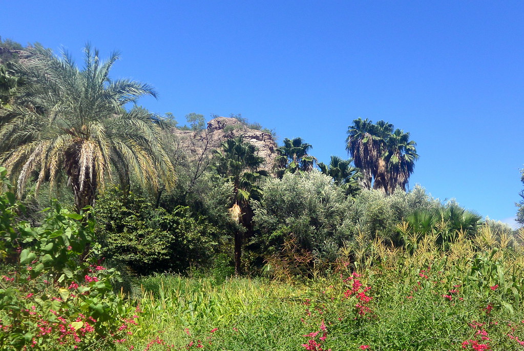
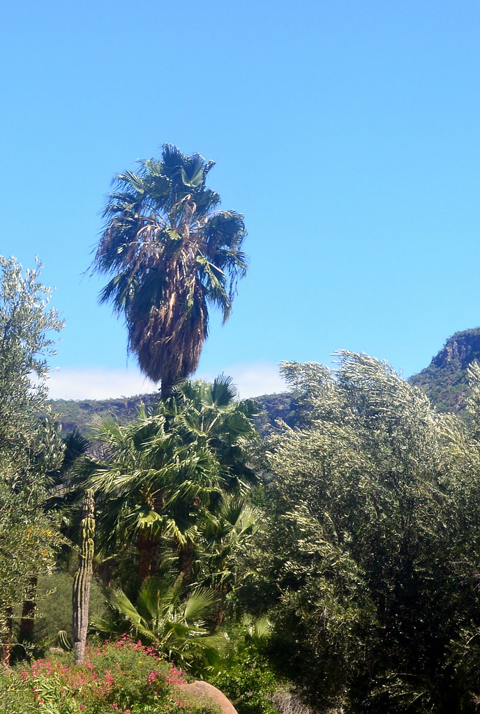
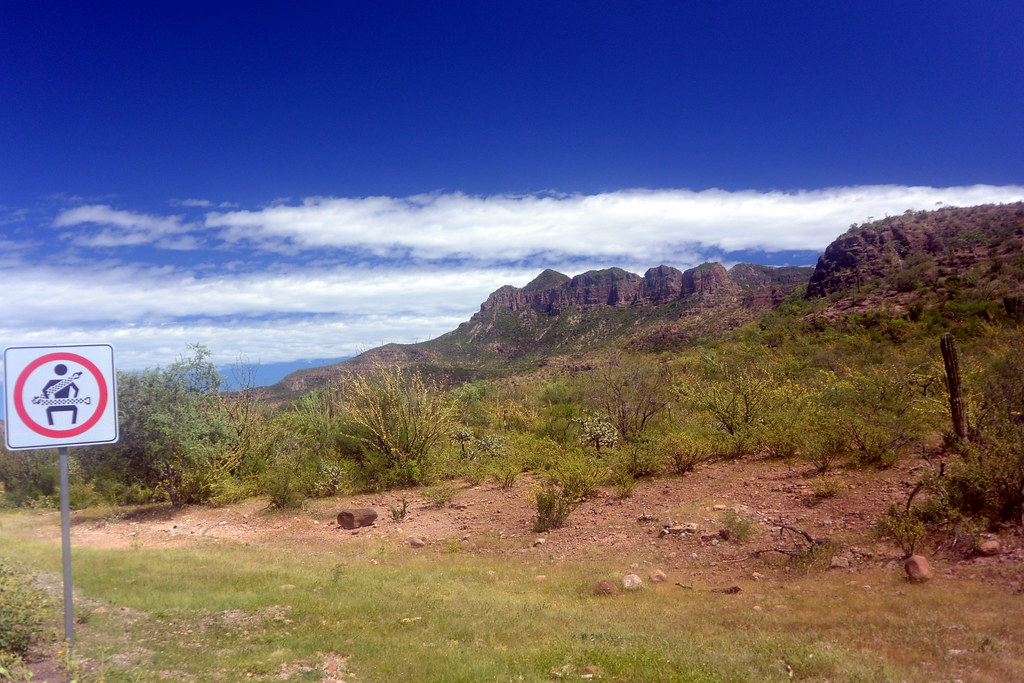
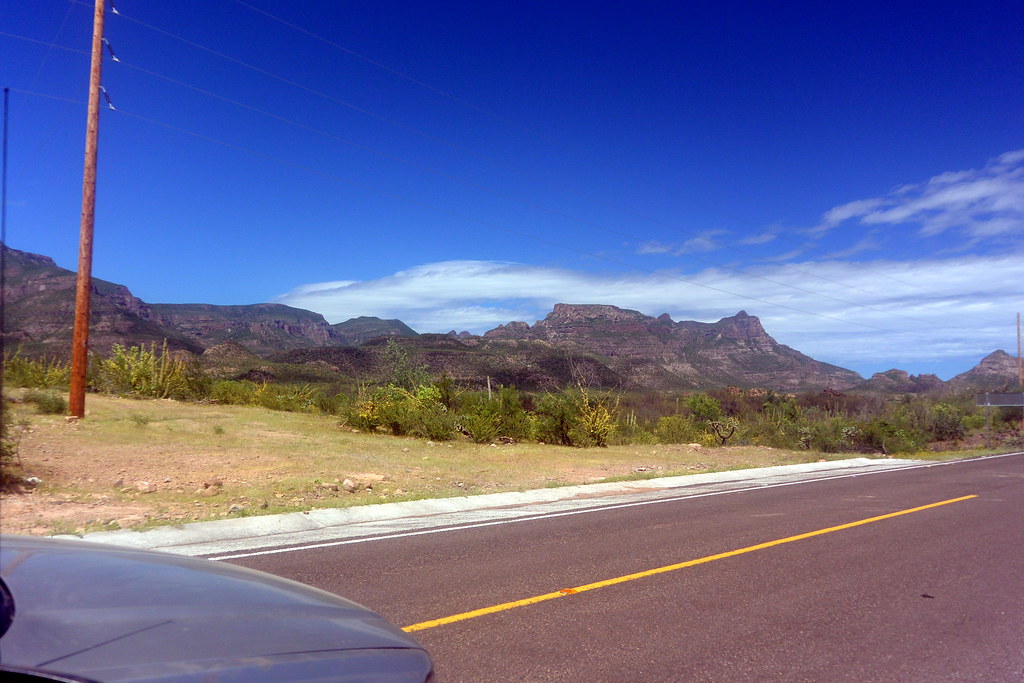
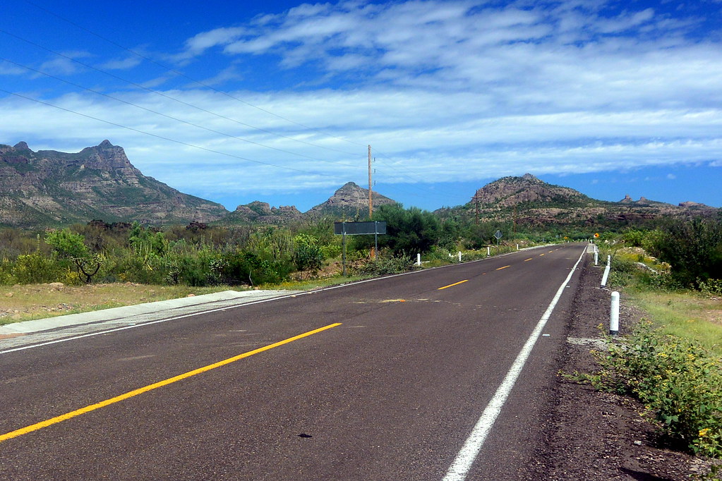
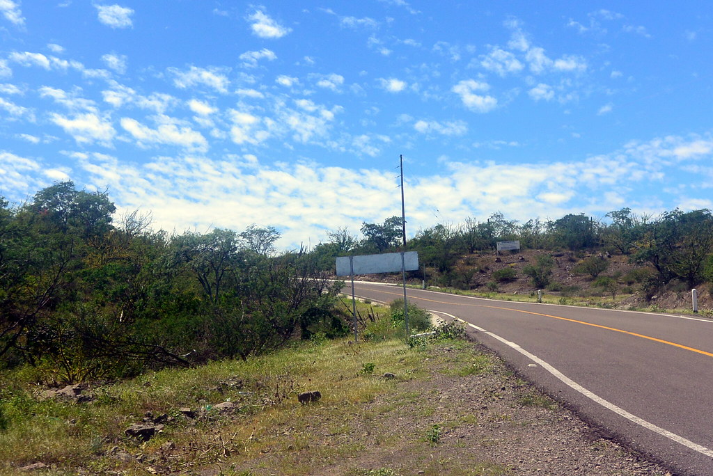
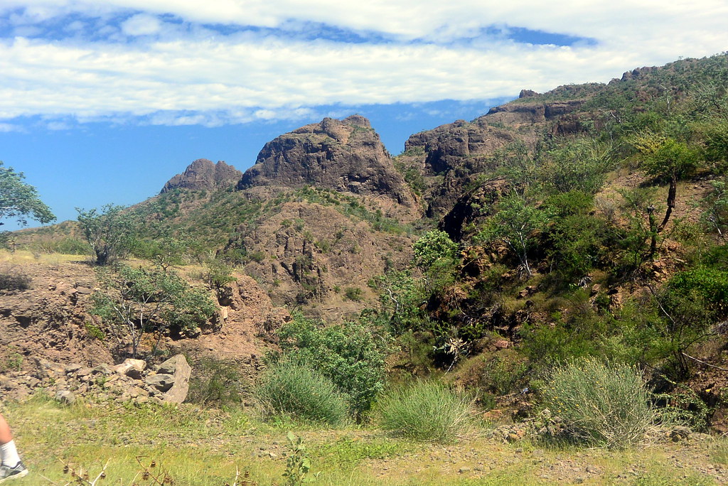
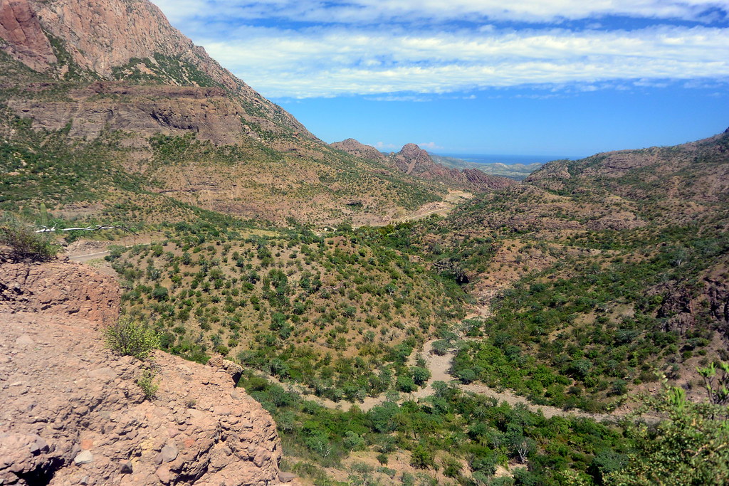
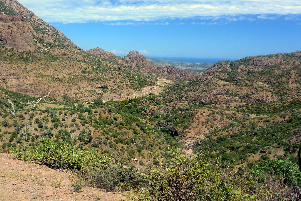
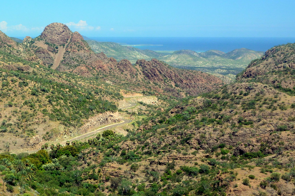
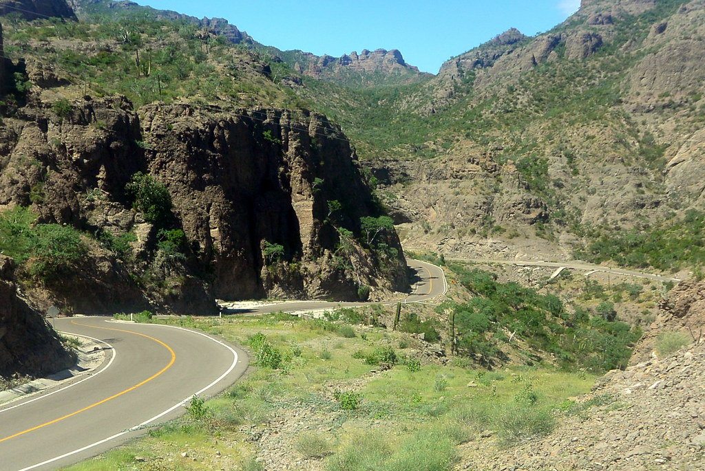
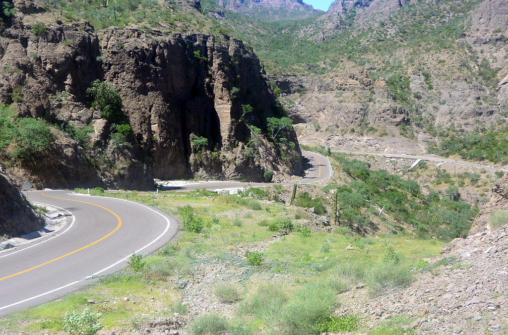
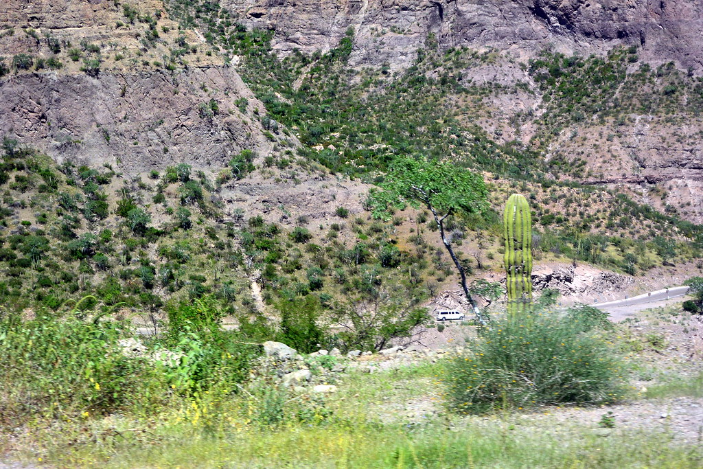
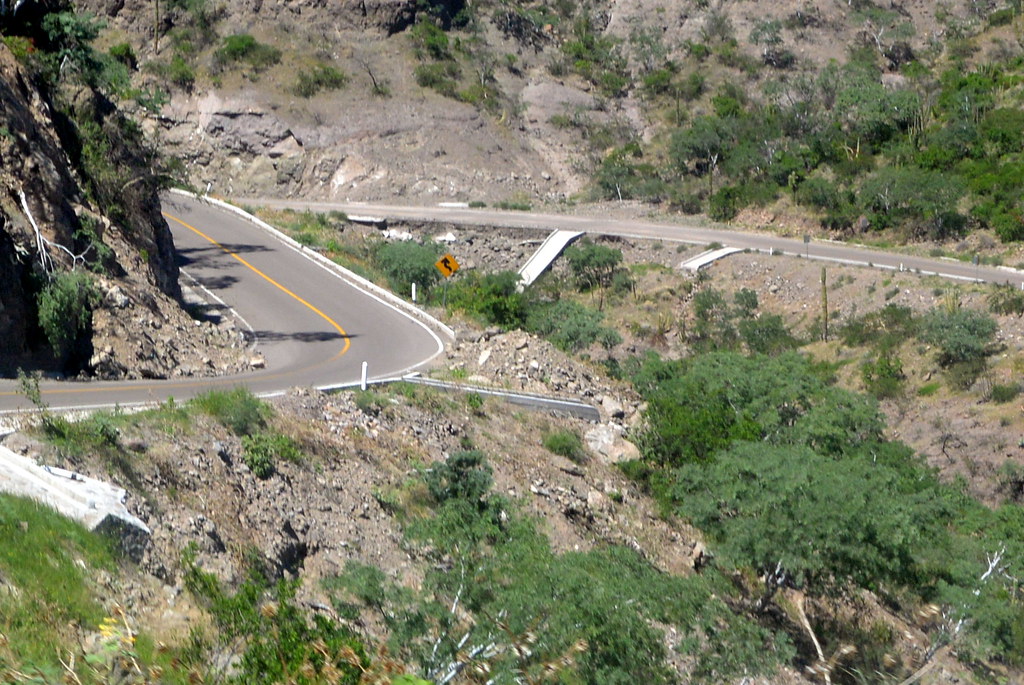
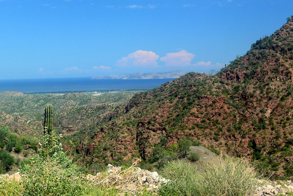
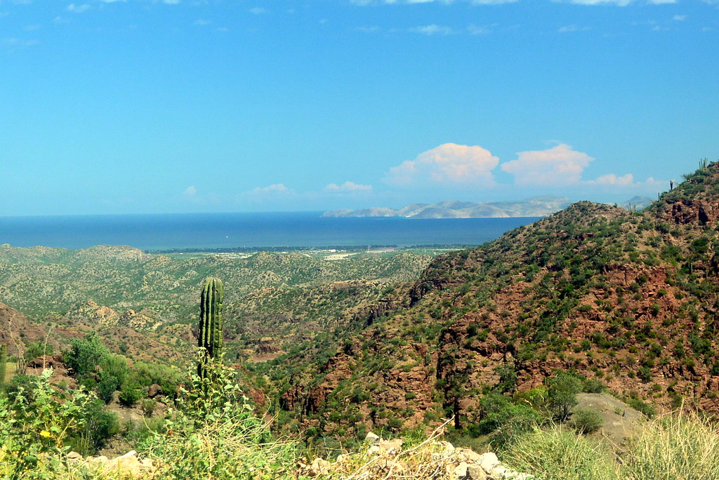
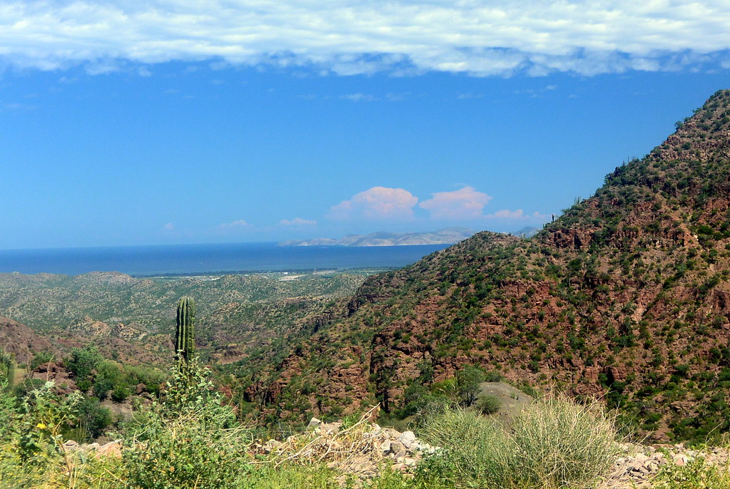
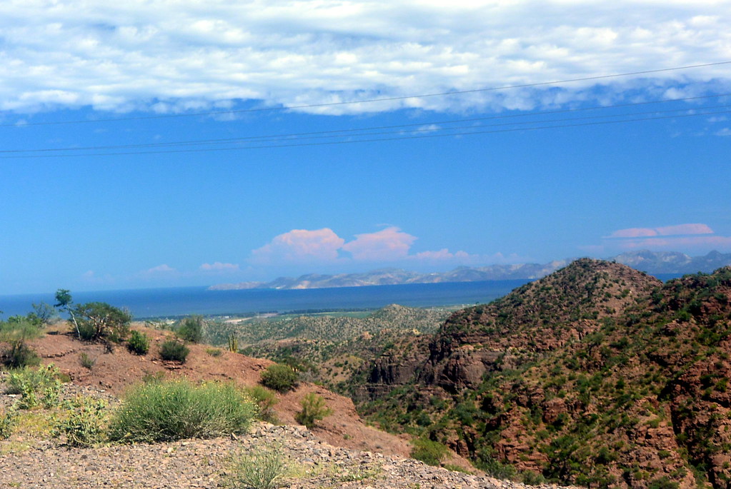
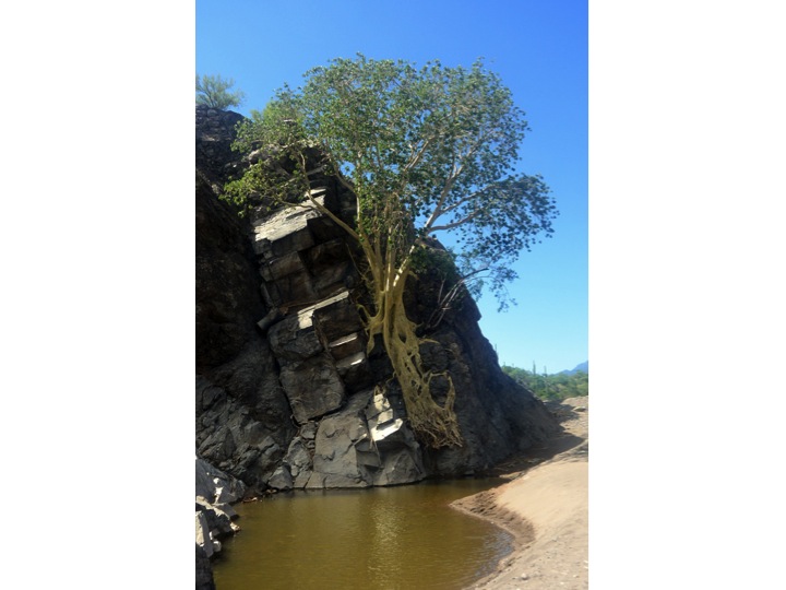
A series of pictures with comments follow are shown to describe our trip from Loreto to Mission San Javier.

We headed west into the Sierra de la Giganta Moubtains immediately after leaving Loreto.
The dessert around Loreto was in bloom for our trip.  There were a great number of catus that look like the suguaro catus found in Arizona, but these are not suguaro.
The desert around Loreto was in bloom for our trip. There were a great number of cactus that look like the saguaro’s found in Arizona, but these are not saguaro.
Many roads had been washed out from the remains of a tropical storm that passed through the area before our visit.  This is one of many road washouts we encountered.
Many roads had been washed out from the remains of a tropical storm that passed through the area four weeks before our visit. This is one of many road washouts we had to deal with.
We took a short hike before getting into the mountains to see rock outcroppings, and a special tree.
I found this to be a very interesting rock formation seen during our hike.
I found this to be a very interesting rock formation.
This is the main river normally dry flowing out of the mountains passing on the south side of Loreto.  There was still some water in the river as we walked through the river bed.
This is the main river, normally dry, flowing out of the mountains passing on the south of Loreto. There was still some water in the river that we say during our hike.
This fig tree was the main reason for our hike.  Fig trees are not native to this area, but somehow this fig tree grew here.  One possible explanation is that a grew from a seed that floated down the river from groves planted further up the valley.  Notice the roots growing out of the rocks.  This is one of four fig trees growing at different points along the river.
This fig tree was the main reason for our hike. Fig trees are not native to this area, but somehow this fig tree grew here. One possible explanation is that a grew from a seed that floated down the river from groves planted further up the valley. Notice the roots growing out of the rocks. This is one of four fig trees growing at different points along the river.
Another one of the many road washouts we encountered going into the mountains.
Another one of the many road washouts we saw going into the mountains.
This small church is located about half way between Loreto and Mission San Javier.  Again the green mountainside from the rain can be seen.
This small church is located about half way between Loreto and Mission San Javier. Again the green mountainside caused the rain.
Another view as we neared Mission San Javier.

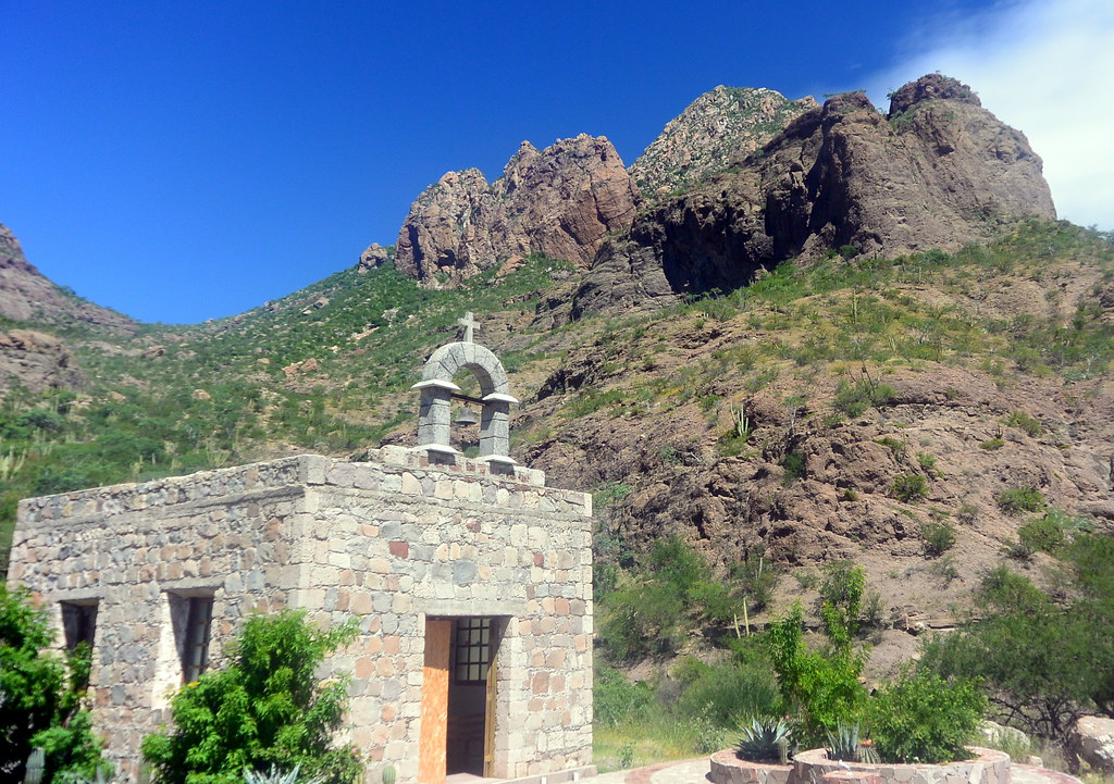
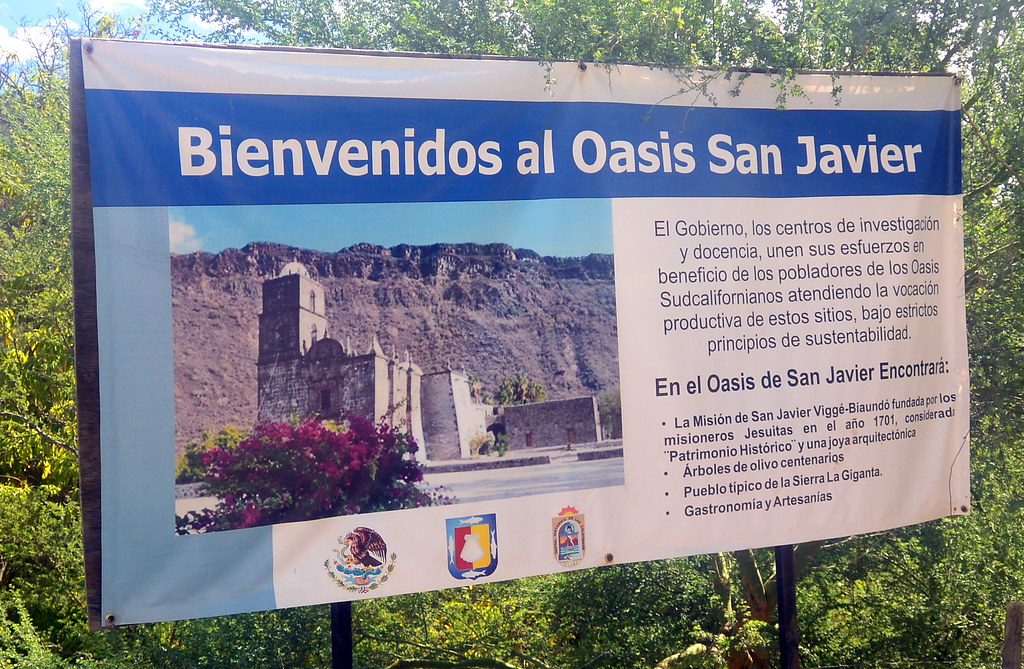
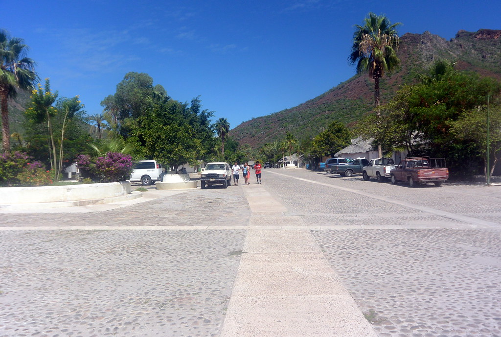
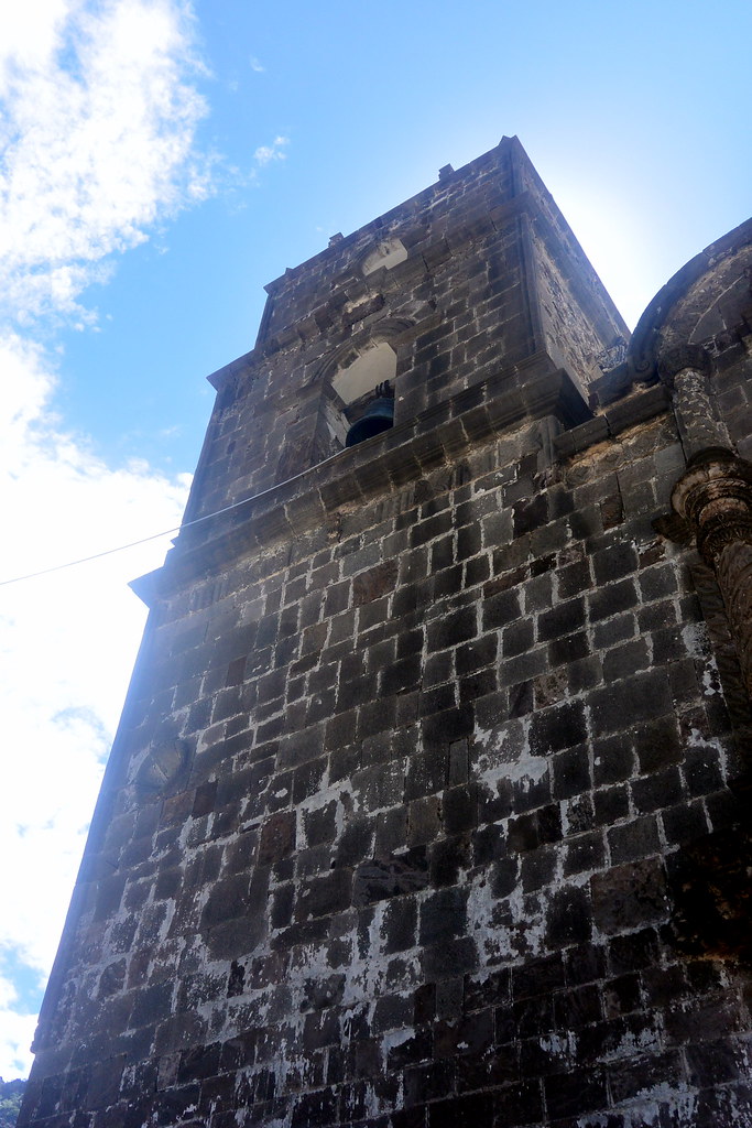
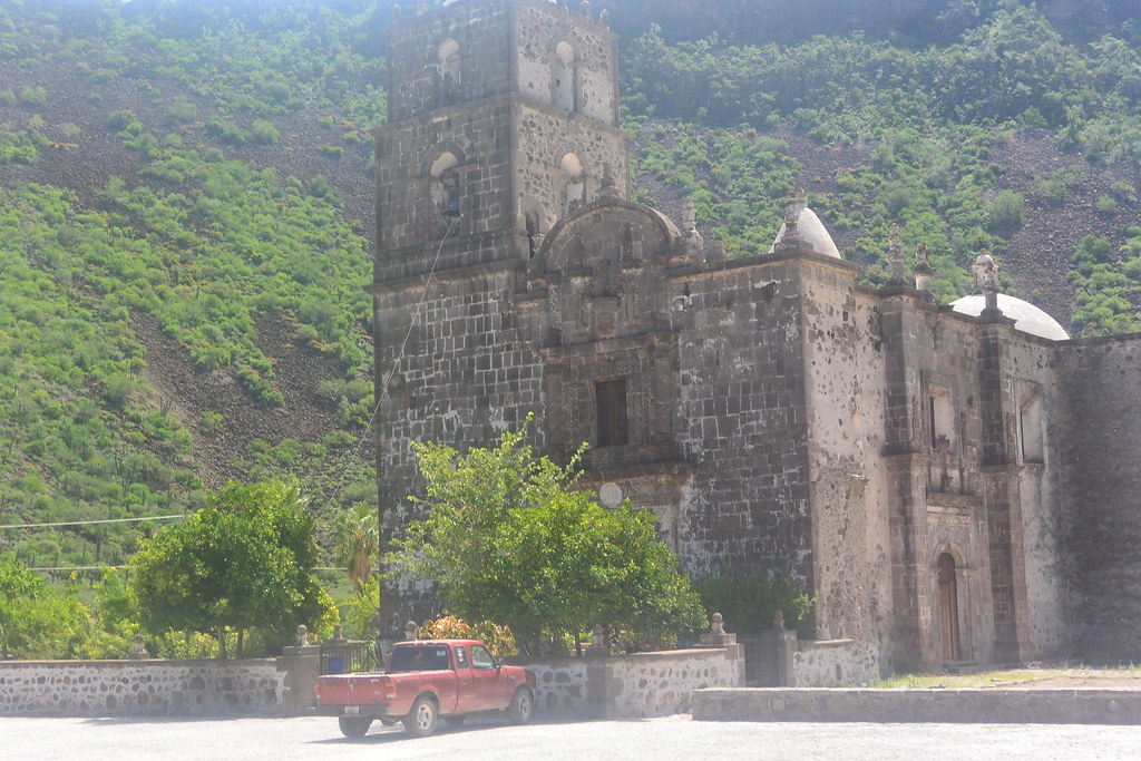
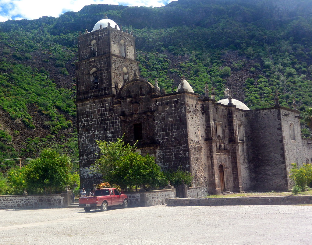
Arriving at Mission San Javier

We knew we had arrived at San Javier when we saw this sign announcing the mission.
San Javier is a very clean and well laid village with about 200 residents.
San Javier is a very clean well laid out village with about 200 residents.

A little history on Mission San Javier

Mission San Javier was the second of the California (both upper and lower California), and was established in 1701.  I have seen another source claiming the missions was founded in 1699, but was most to the present site in 1701.  The mission’s structure was completed between 1744 and 1758 , but as seen on the signed posted by the Mexican Federal Government as you enter town, 1701 is the recognized year of the mission’s founding.  Jesuits were the founders of these missions.  Francisco Maria Piccolo, a Jesuit educated in Spain was the original founder of the mission, and he also worked on to establish other missions in Baja California.

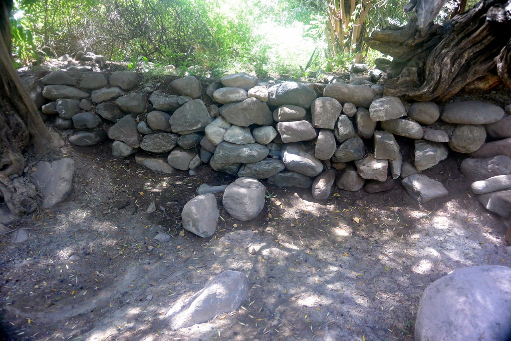
A secure source of water was one of the main concerns when a missions were established.  Usually, missions were built near a river with a dam upstream with an aqueduct to take water to the mission, agriculture, and town water.  The satellite picture below shows the original dam built for Mission San Javier, and the agricultural around the mission.

The original Mission San Javier dam is shown in the upper right with an expanded view of the dam shown in the upper left.  A aqueduct with the dam is still in use today for both agriculture and and the towns water supply.
The original Mission San Javier dam is shown in the upper right with an expanded view of the dam shown in the upper left. An aqueduct with the dam is still in use today for both agriculture and the town’s water supply.

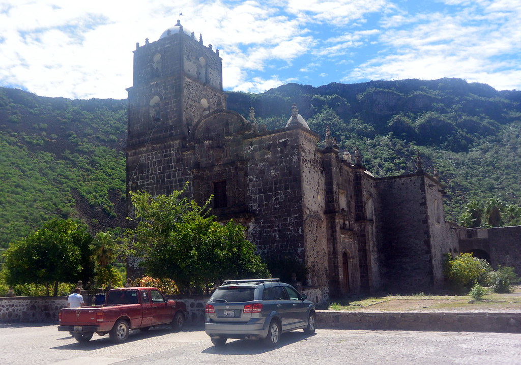
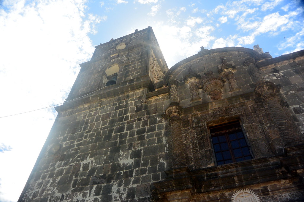
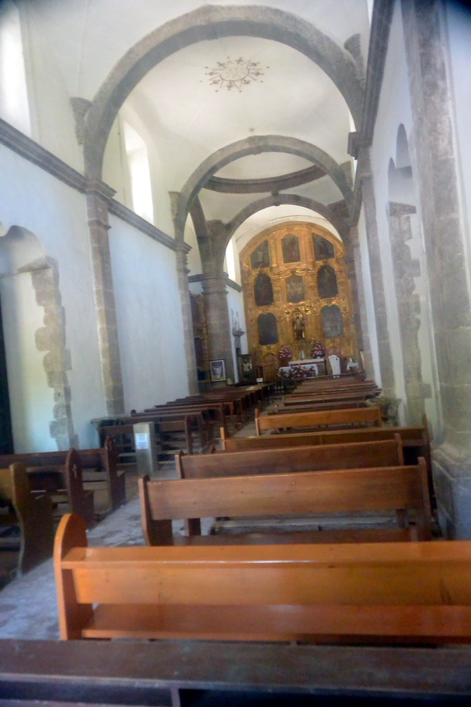
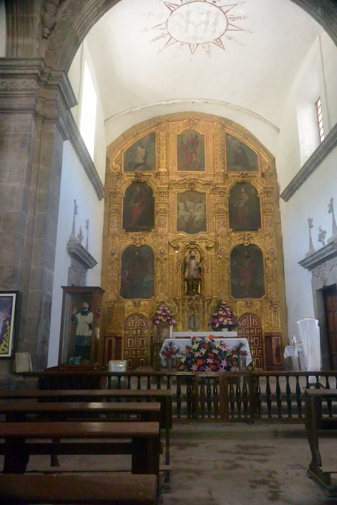
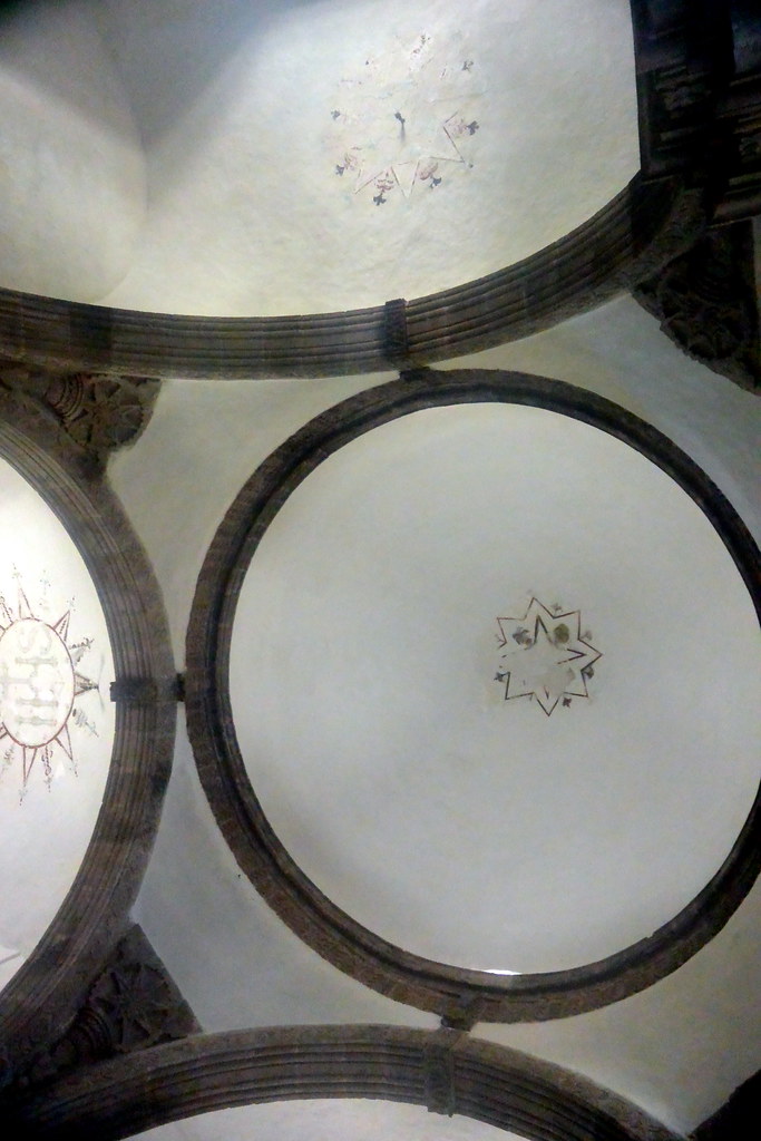
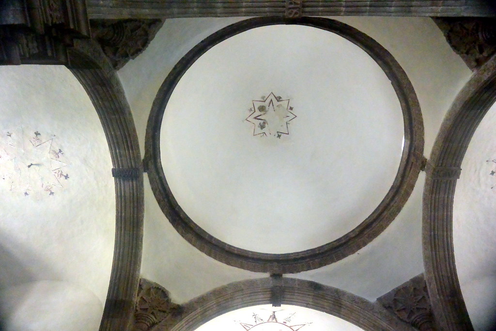
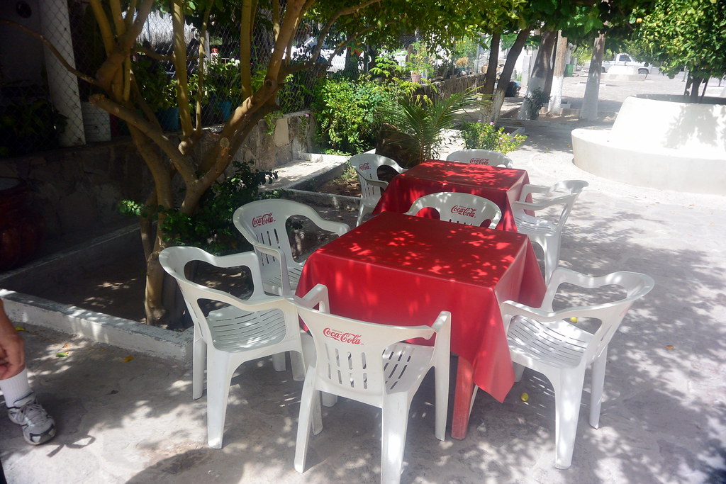
Photos in & around Mission San Javier

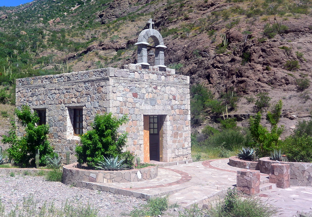
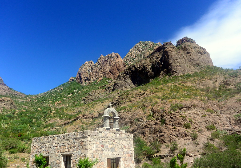
Below are photos from the mission, and the immediate area around the mission.

Mission San Javier
Mission San Javier
Two views of the Mission San Javier santuary
Two views of the Mission San Javier sanctuary
A view of the ceiling at MIssion San Javier
A view of the ceiling at Mission San Javier
A small cemetery located alongside Mission San Javier
A small cemetery located along Mission San Javier

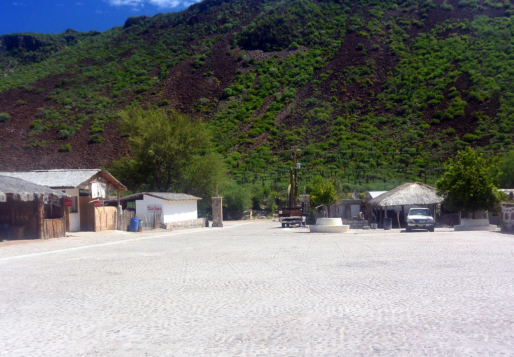
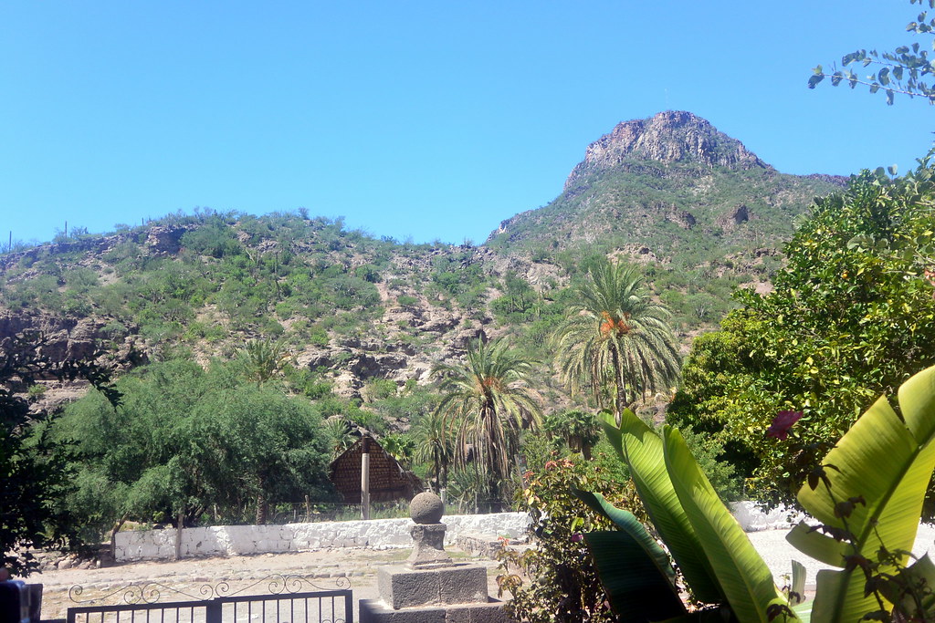
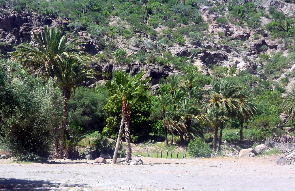
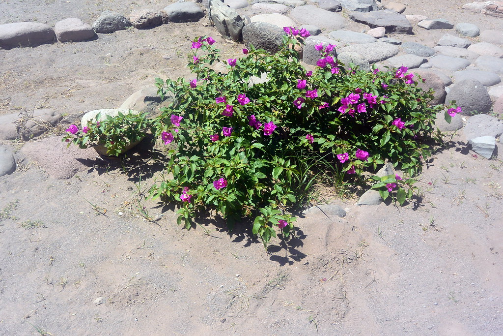
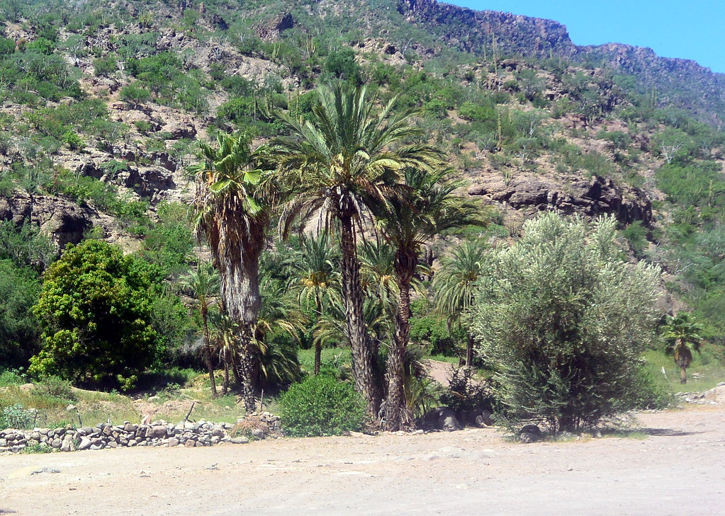
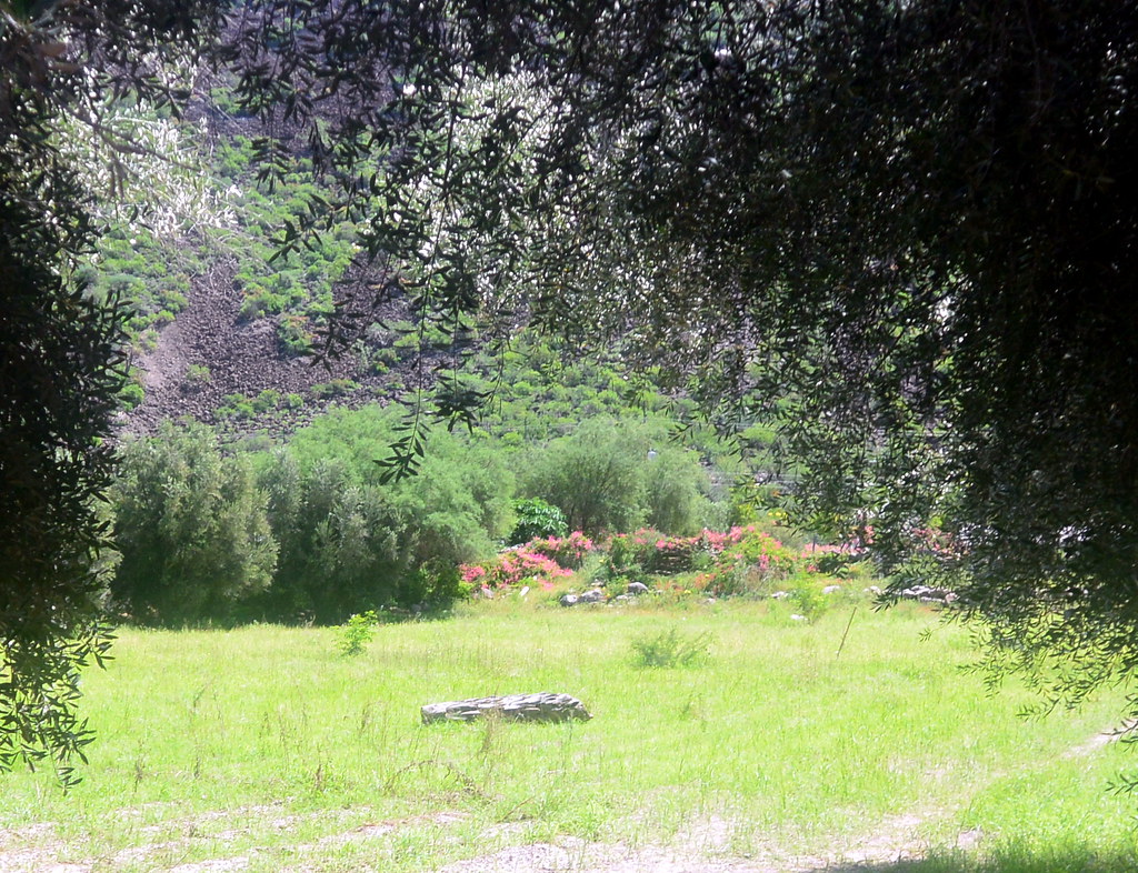
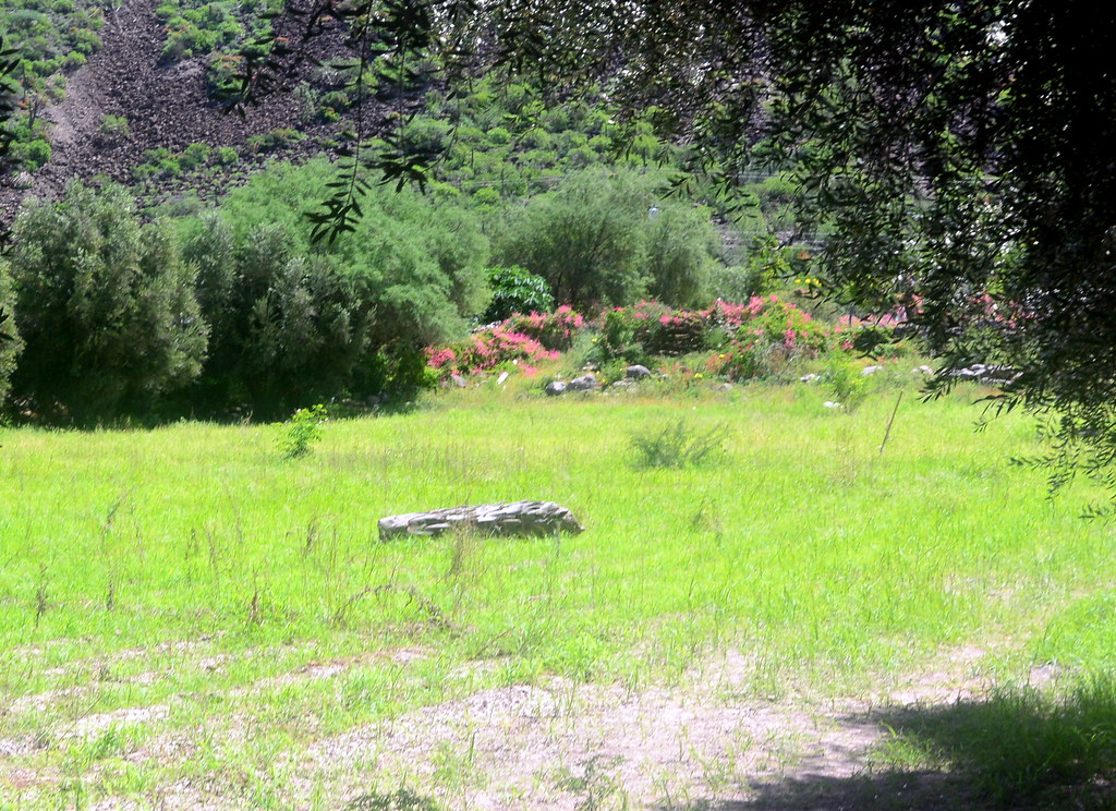
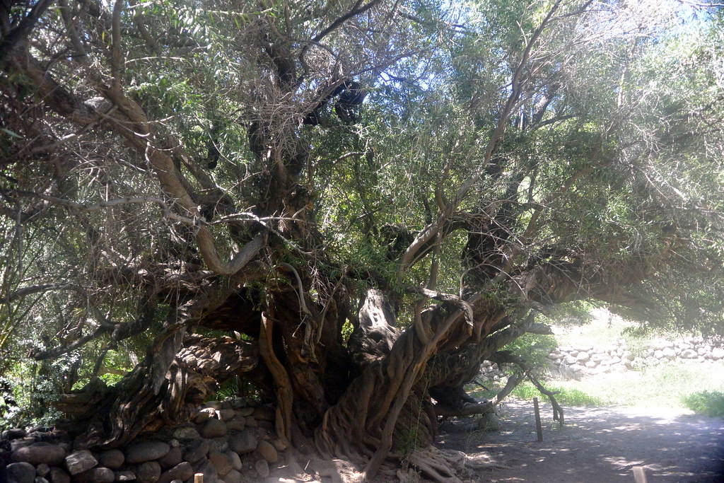
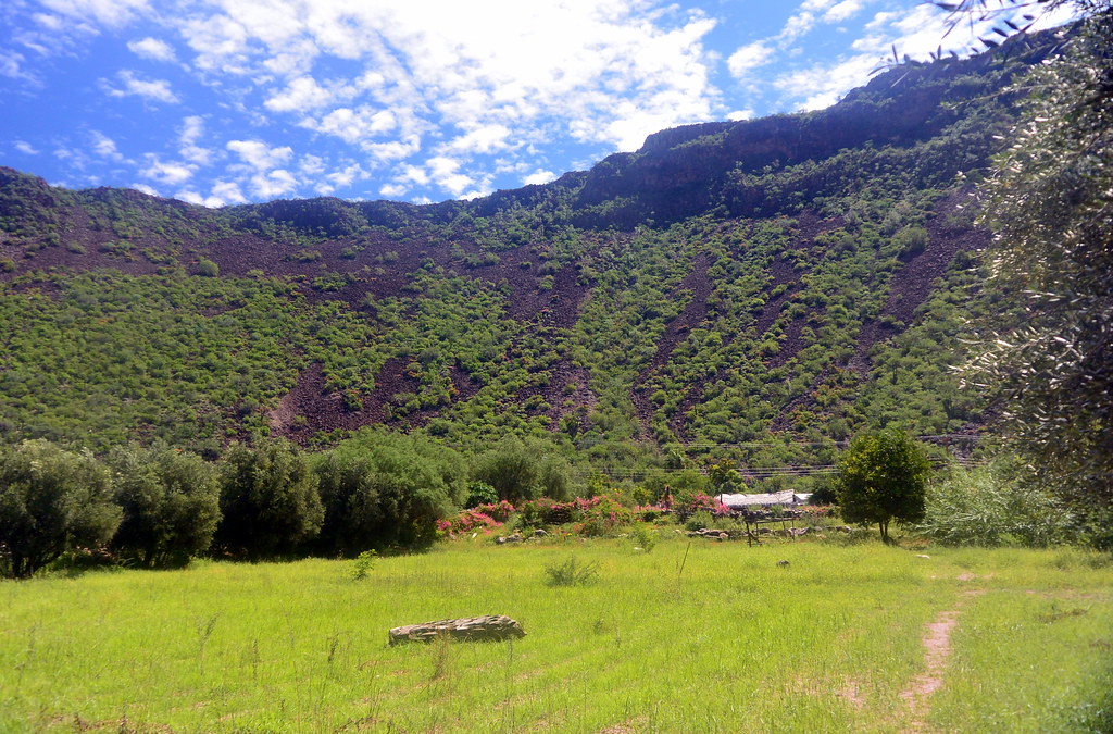
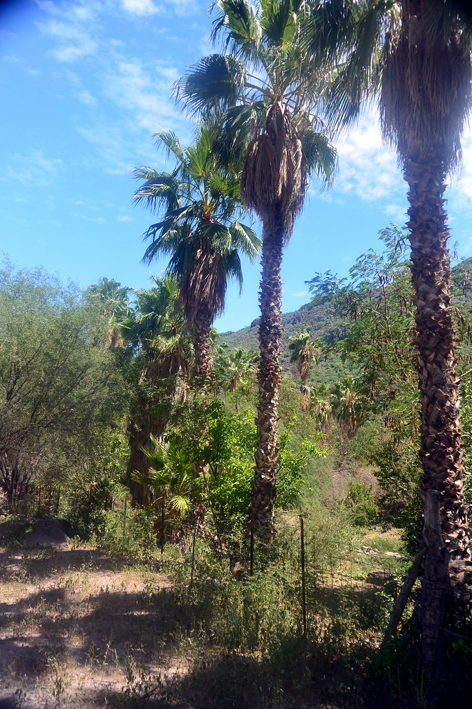
The pictures below are from the grounds surrounding the mission.
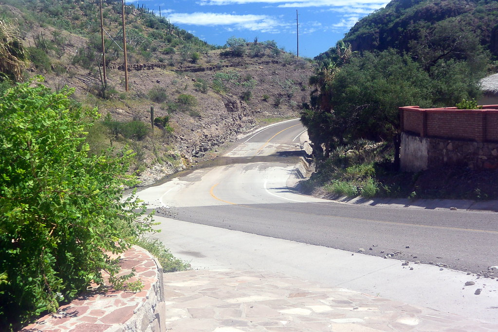
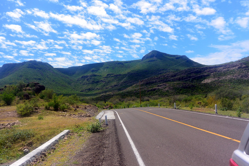
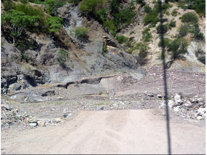
Palms trees growing behind Mission San Javier
The aqueduct passes behind Mission San Javier and flows to an agricultural area to the immediate west of the mission.
The aqueduct passes behind Mission San Javier and flows to an agricultural area to the immediate west.
This is the backside of Mission San Javier.  Here we are returning to the mission after walking the gounds behind the mission.
This is the backside of Mission San Javier. Here we are returning after walking the grounds behind the mission.
lun
We had lunch outside at La Palapa San Javier located a few steps from the front of the mission.  The menu includes native Mexican food, hamburgers, and other items.

Return to Loreto

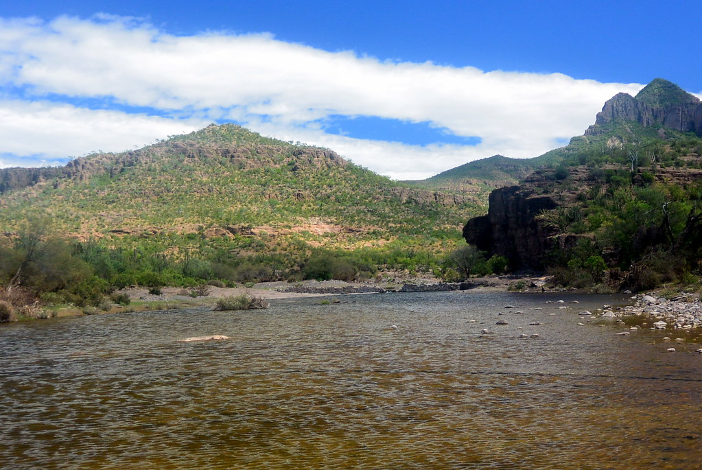
The photos below are from our return to Loreto from the mission.  For this we had to recross the Sierra de la Giganta.  After crossing the mountains, the road follows the river back to Loreto.

Again the sceneray was green from the reins as we left Loreto.
Again the scenery was green from the recent rains as we left Loreto.
We just could not get enough of the dessert in bloom.
We just could not get enough of the desert in bloom.
At this point we had just crossed the top of the mountains at a place referred to as "Partiendo de las aquas".  To the left on the other side of the crest, the water flows to the Pacific Ocean.  On the right after crossing the crest, the water flows to the Gulf of California.
At this point we had just crossed the top of the mountains at a place called “Partiendo de las aquas”. To the left on the other side of the crest, the water flows to the Pacific Ocean. On the right after crossing the crest, the water flows to the Gulf of California.
Just as we crossed the crest of the mountains we could see the Gulf of California to the east
Just as we crossed the crest of the mountains we started down the road that would take us through the canyon to get to Loreto.
As we started down into the canyon, the Gulf of California could be seen about 20 miles to the east.
Another view of the Gulf of California as we descended towards Loreto.
Another view of the Gulf of California as we descended towards Loreto.  Isla Carmen can be seen further out in the gulf.
We just had to stop and get this picture of the Gulf of California as we descended further into the canyon.
We just had to stop and get this picture of the Gulf of California and Isla Carmen.
We were very lucky to have seen all the green growth results from the storm four weeks before.
We were very lucky to have seen all the green growth results from the storm four weeks before.  This is another view as we were descending to Loreto and passed a grove of date trees.  The Gulf of California can be seen in the upper part of the photo.


We still had a few more washed out roads to deal with as we passed through the canyon, and on to Loreto.

So how much time do you need to visit Mission San Javier when traveling from Loreto?

I would recommend that you allow at least six hours of time to visit Mission San Javier to both go and return.  Some tour operators claim that you can do this trip in three hours.  It may be possible to do this three in three hours, but I do not think you would enjoy a tour a short as this.  Further, and three-hour tour, assuming there was good weather, would only allow you to get to the mission, drive up to the mission and see from your car / van, and then return to Loreto.

Chuck and I really enjoyed our trip to Mission San Javier, and would recommend it to other visitors to Loreto.

Please feel free to post any questions or comments that you may have, and I will do my best to respond with 24 hours.  We love comments and questions, it provides other views and experiences, and helps to improve the blog.

All the pictures from my Mission San Javier trip can be viewed below.  An enlargement can be seen by clicking your mouse on a picture.  Once a picture is enlarged, you can then scroll forward or backward through the gallery by clicking in the lower left corner of the slide.